Location: Rocky
Mt National Park
August 23, 2010 I step out of the car at the Backcountry Office in Estes Park, and it feels familiar and comfortable. Itís been nearly 6 months since I drove a yellow Penske truck with all our belongings from Cheyenne to middle Tennessee. A job. Uprooted for a job. Itís not all bad: fun job, great house, land, trees, wildlife. Still, the mountain air intoxicates, and I am gripped in a sudden crush of nostalgia for the high peaks out my back door, so to speak. Ambling in to the office, I pick up my backcountry slip. This time of year, with summer ďoverĒ for both students and parents, thereís no problems getting any campsites, except perhaps in the ever-popular Loch Vale area. The only backpackers out here are those of us young enough to still enjoy backpacking, yet old enough to be free from school, and in my case still young enough that my daughterís infant schedule doesnít know summer from winter. Itís cloudy over Trail Ridge Rd, and I stop occasionally to wait out construction delays. Thereís no disappointment in that, as I can sit idly and watch the greatest windshield-view in the country sweep across the divide ahead of me. An hour and a half after leaving Estes Park, I am at the trailhead for East Inlet, just on the edge of the Grand Lake. The town surrounds the lake with brown mountain-lodge architecture, and consequently cell phone reception is as good as it gets. I call Andra and chat while I pack, getting in our last conversation for 3 days (I presume). Iím on the trail at 10:15, passing through a lodgepole pine forest blighted by pine bark beetle, with every other tree dry and rusty-red. A young moose tramps across the trail ahead of me, into the large grassy meadow through which East Inlet Creek meanders. By 10:30 itís sprinkling, and within a few minutes the rain is pelting my pack and I stop to put on rain clothes. I trudge on in the rain, and by 11:30, itís clear again, and I stop again to remove rain clothes. The sun comes out, and it looks nicer out than it has all day. After another hour of walking, itís impossible to notice that it rained just an hour before. The East Inlet Trail heads east towards the divide along the creek for most of its length, but there are sections of steep topographical relief that require switchbacks, some of them cut through rock. Itís not a route that would be easy without the hard work of generations of trail building crews. The valley narrows as I ascend, and the walls close in, bounded by Mt Cairns to the north, and Mt Wescott to the south. East Inlet Creek tumbles over falls in some sections, and glides noiselessly through level forested sections in other spots. Soon, I reach the shore of Lone Pine Lake, so named because of the small island near the outlet with a pine (2, actually) growing on it. Thatís my cue that camp is not far, and indeed, just up the slope east of the lake, on a rocky promontory overlooking the lake, I find the Solitaire Campsite. Hike time to camp has been about 4 hours. The camp is situated on a rocky bench above the creek and trail, dotted with spruce, fir and lodgepole pine, and strewn with dead trees. The rock drops off precipitously to the west, affording a panoramic view of the valley beyond, all the way to the Gore Range on the horizon. Itís a great camp location. I set up the rental tent (cheaper than checking a tent with airlines, these days) and have a lunch of Rice Krispie treats with coconut (delicious) and the usual trio of crackers, cheddar and jerky, before stashing my food. RMNP has disappointingly begun requiring all campers to have bear canisters, rather than relying on hanging food, which is my preference. The bear canister adds an extra 3.5 lbs to my pack, making it the heaviest object that Iíve brought, and comprising almost 10% of my pack weightÖand itís completely unnecessary given that Iím surrounded by 50-foot conifers. Ridiculous. I may as well have brought scuba gear with me, for all the good it would do me. Park Service, Iím inclined to ďforgetĒ my bear canister next time I come. I take a shot walk down the sunny rocky slope to the creek, and filter the clear water into plastic bottles, drinking one down, then filling it again. The water is ice-cold and delicious. Thirst quenched, itís time for a nap, and I slumber from 3-5, serenaded by the sound of gentle breezes through the spruce needles overhead. Such blissful natural quiet is so difficult to find these days, itís a reward in itself. Refreshed from the nap, I cruise around the area, checking out the terrain. The mounded, smooth rock of the mountain is barely concealed by moss, a few inches of soil in clefts and spruce trees. Itís a clear, calm evening, with some large cloudbanks tacking by, catching the slanted orange sunlight as it dips towards the mountains in the west. I sit by my food canister 30 yards from the tent, lean against a spruce tree, and eat a dinner that is an exact replica of lunch. I hear a crunch in the woods behind me, and, shifting my head slightly, I watch a young moose strut through the forest between me and a heavy wall of rock. I stay still, and it doesnít notice me at all. Soon, the mom appears, hulking and black, following in her youngsterís footsteps. They pass about 20 yards away, apparently oblivious to my presence, and dissolve into the woods up the valley. Smiling to myself at the close encounter, I am lucky to have it repeated exactly by a second cow-calf pair about 5 minutes later. Apparently the camp sits on a regular moose highway. After dinner I retire to the west side of the camp, beyond the trees, to the rocky promontory that overlooks the valley below, and sit to watch the clouds change color. Itís a fabulous evening. The sun sets behind the mountains on the horizon, and as the sky cools and the temperature drops, I retreat to the tent to read by headlamp. There are no bugs about, so I keep my tent flap open, and burn a small candle just outside, shielded from the gentle breeze by my boot. It acts as a nice surrogate for a campfire, that cheery tradition forbidden in most National Parks, including this one. The summer solstice, with its voluminous days that stretch evening out for hours, is more than 2 months past, and by 8:00 it is dark. After a bit more reading, I wink out for a great nightís sleep. August 24
I head east, down the slope of Mt Anderson, then up the loose boulders to Peak 12241 at 11:00. Nice peak, with a precipitous eastern edge that falls down to the pass between North and East Inlet creeks, below, which is where I want to go. Itís tricky to get down, and I have to pick my way all over the steep, rocky slope to find a way down, backtracking several times when I hit upon the perfect definitions of ďcliffed outĒ. Finally, I reach the flattish plains of the pass at 11,400 at 12:15, and I stop at one of the many shallow tarns on the grassy tundra to have lunch of jerky and cheese. I trade out my boot insoles to assuage the pain in my heel, and move on east. Clouds gone. Perfect day. From the pass at 11,400, I head due east, up a steady steep slope of grass and wildflowers, crossing ribbons of water gushing down the hillside as I angle back and forth towards the summit of Mt Alice. I stray too far north on my course, and find myself at a point northwest of the summit, looking across a butt-clenching 1000-foot chasm at the true summit. The wind is brisk up here. There is no vegetation, only shattered rock. I follow the edge of the glacial gorge to the southeast, to the summit of 13,310-ft summit of Mt Alice at 2:30. Fantastic Peak. Down below lies Thunder Lake, where I backpacked in 2007. To the east, across a vast rock valley, rises Longs Peak, with Mt Meeker just to the south. Within minutes, swirling clouds obscure the summits, and I donít see them again. I tarry for a long time at the summit, recognizing that itís the high point of my trip, and wanting to enjoy it for as long as practical. Itís a wonderful feeling to be alone on a 13,000-foot peak. Everyone should do it at least once. I decide to descend to Boulder-Grand Pass, and pick my way down through the rocks, dropping about 1250í in a little over a mile to the smooth, grassy tundra of the pass. Below the pass about 400í sits Lake of Many Winds, which was the highest point I walked to during my 2007 trip to Wild Basin. Closing a spatial loop like this also seems much like closing it temporally, resulting in an odd feeling of stitching two points in time together as if they were continuous, a vague sense I get whenever my footsteps pick up where Iíve left off. From the pass, I sense the weather is going to remain fair, despite the building clouds which so far seem to be confined to the eastern slope. Tanima Peak is so close, and I canít help but set off up the gentle grassy slope to the summit. A couple from Oregon, the only other people Iíve seen all day, are hiking up to the summit from Thunder Lake. I chat with them a bit as I pass. The summit has a few tricks, and I have to take off my pack to go the last 30 feet safely. The summit is quickly being cloaked in clouds, and the few pictures I snap off show only partial valleys, with the upper areas blocked out by heavy, wet clouds. To the south, across Indigo Pond, the Eagles Beak looms in the gathering fog, dissolving into grey before my eyes as clouds roil up from the east. I retreat back down the slope to the west, into the sunshine, veering south towards the Cleaver, a dramatically sharp and narrow section of the Continental DivideÖno pass there. The sun shines on billowy clouds that now dominate the eastern slope, but are held at bay right at the divide, as if by magic. Everything west of the divide is clear and blue. From the Cleaver, I head northwest along a bench of flattish grassland that drops away steeply to the west. I angle for the wider contour lines on the map to ease the descent, but I also feel a strong pull coming from Fifth Lake, and so I reverse course, and begin angling southwest across an insanely steep slope below the Cleaver. Difficulties of the route include getting over or around massive logs on very steep terrain, negotiating cliff bands slick with water, and staying upright on a slope so steep that to let go of supporting tree trunks often means falling down the hill. Exhilerating, and also tedious. The going is extremely slow, and I burn a considerable chunk of the remaining daylight on this descent. I finally exit the trees into a boulderfield, cross it, and then Iím at the shore of Fifth Lake. The lake itself is now in the shadow of the 12,000-foot plateau to the west, but 13,118-foot Isolation Peak, which rises up to the south from the shore of Fifth Lake, is still bathed in orange sunlight. From Fifth Lake, itís a simple walk down East Inlet Creek, following an informal trail through meadows and down rockfields, to Fourth Lake, then to Spirit Lake and finally to Lake Verna, which reach after sunset. A bright moon guides me along the dim trail back to camp, which I reach around 8:45. Under the clear sky and bright moon, I shiver as I wash down my salty body with a cold, wet cloth. I put on fresh clothes, scarf a late dinner (complete with a cold Coke stashed in the creek all day) and hop into my sleeping bag. Lighting a candle just outside the tent flap, I relax and review the days exploits on the map. Reviewing my food cache, I list the dayís menu: 2 oz jerky, 3 oz cheese, 2 Snickers bars, a Planters nut bar, 3 Rice Krispie treats, 2 oz tuna, 6 Ritz crackers, a small pouch of honey, a Twix bar, 8 Shot Blox, 1 qt Gatorade, 4 qts water, 4 ibuprofren pills and a diet Coke. By 10:00 Iím ready to call it a day, and flip off my headlamp and snuff out the candle. August 25
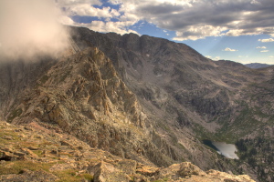
The Cleaver, Isolation Peak and Fifth Lake below 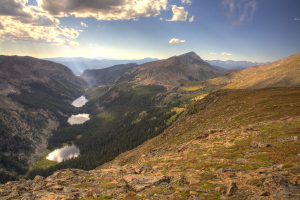
East Inlet Lakes from Boulder-Grand Pass 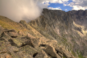
The Cleaver holds back clouds billowing up the eastern slope 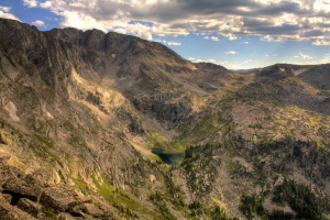
Isoaltion Peak and Fifth Lake 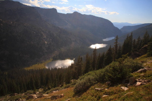
Fourth Lake, Spirit Lake and Lake Verna 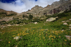
The Cleaver from the west side 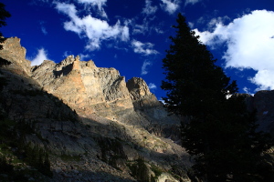
Jagged west face of Isolation Peak 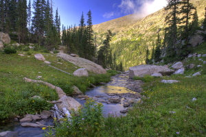
East Inlet Creek leaves Fifth Lake 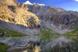
Fifth Lake, headwaters for East Inlet Creek 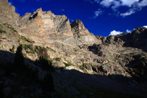
Isolation Peak 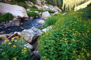
Wildflowers along East Inlet Creek near Fifth Lake 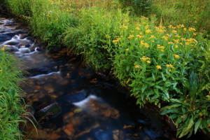
East Inlet Creek near Fourth Lake 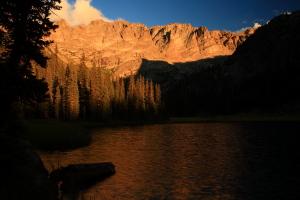
Isolation Peak reflects evening sunlight on Fourth Lake 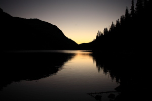
Sunset on Spirit Lake |
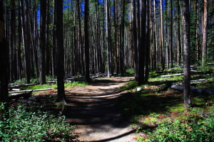
Lower East Inlet Trail 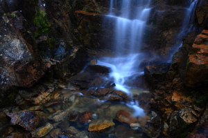
There are many quaint little falls along the trail 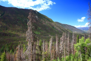
Most of the lodgepole pine have been killed by pine bark beetle 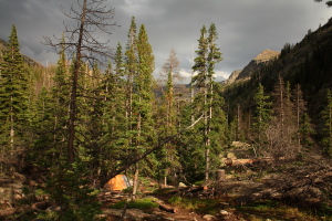
Camp Solitude 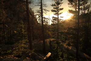
Camp Solitude 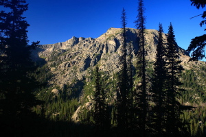
Mt Craig, 12,007' 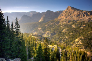
East Inlet Valley 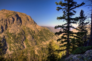
West flank of Mt Craig from midway up Anderson Peak 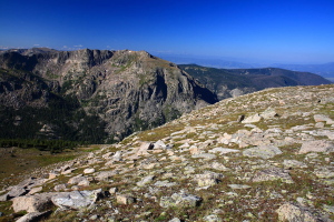
Near the summit of Anderson Peak 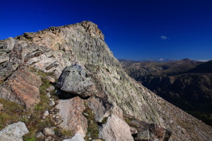
Anderson Peak 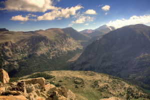
Looking east from Anderson Peak across North Inlet Valley to Longs Peak on the horizon 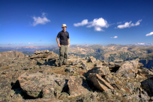
Anderson Peak summit 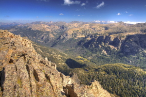
North Inlet Valley 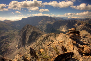
From Anderson Peak, looking past Peak 12,241 to Boulder-Grand Pass and Isolation Peak 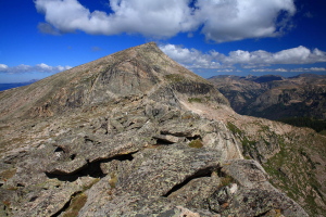
Anderson Peak from Peak 12,241 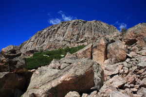
East side of Peak 12,241 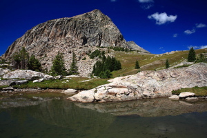
Peak 12,241 reflected in a shallow tarn 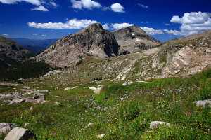
Peak 12,241 and Anderson Peak from the slopes of Mt Alice 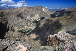
Looking north from Mt Alice at 13,927-ft McHenrys Peak 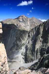
Longs Peak and Mt Meeker 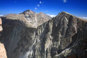
Longs Peak, Mt Meeker and (foreground) Mt Alice 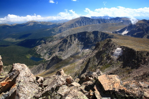
Looking south across Wild Basin from Mt Alice 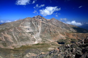
Longs Peak and Mt Meeker 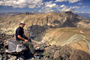
On the summit of Mt Alice 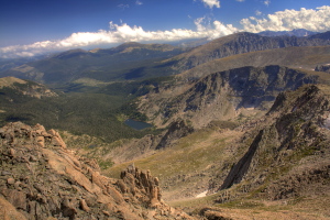
Wild Basin 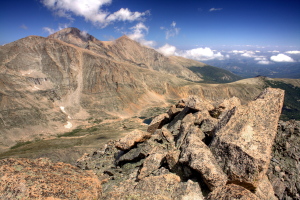
Longs Peak, Mt Meeker from Mt Alice 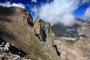
Looking north from Boulder-Grand Pass at Longs Peak 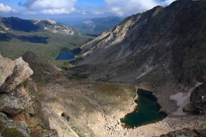
Thunder Lake and Lake of Many Winds from Boulder-Grand Pass 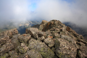
Tanima Peak summit in gathering clouds 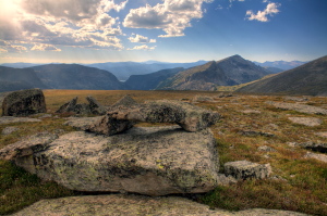
Alpine tundra on the Divide near Tanima Peak 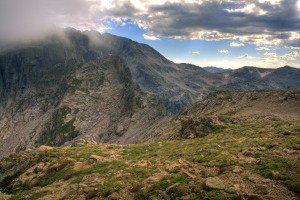
Isoation Peak from Tanima Peak |
