| Ding Canyon,
Utah
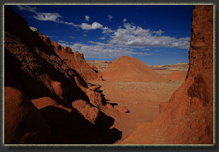
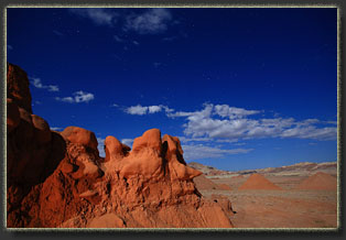
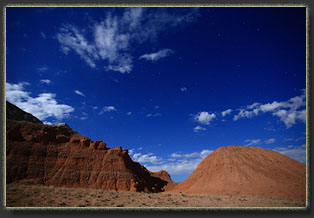
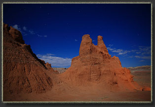
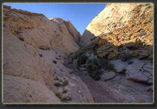
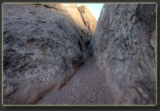
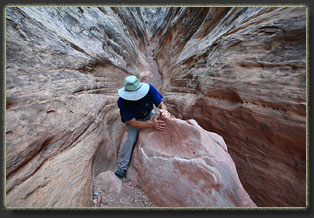
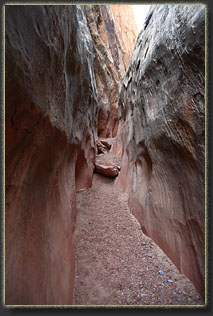
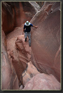
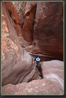
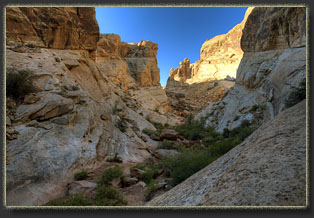
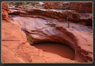
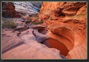
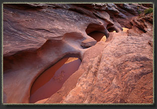
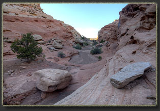
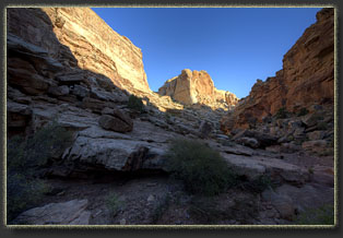
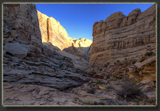
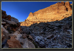
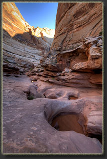
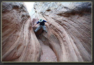
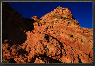
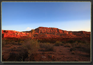
September 29, 2012 After spending most of the day hiking Little Wild Horse and Bell Canyons, Griff and I returned to the truck at 3:30 and sat in the shade of a large cottonwood to drink the last of the cool sodas in the ice chest that, after a 3rd full day in the warm desert, had no more ice inside. I reclined in a folding canvas chair and studied the map, and we discussed our next move. The topographic map showed an unnamed crack in the reef not but a few miles away that appeared interesting, so we hopped in the truck and drove west a few miles to find that this little canyon not only had a name, but its own trailhead. Ding and Dang Canyons are two narrow slots that sit adjacent to each other as they cut through the reef, then join together on the flats just beyond. The sign at the BLM trailhead warned that Dang Canyon, the one on the west, presented tougher obstacles and was best suited to descent. Ding was purported to be the easier ascent, so we decided to give it a try. Others were also giving it a try. Three SUVs sheltered under the cottonwood tree at the TH, and several people were milling about. Under the warm sun, we set out at 4:25 up the dry, sandy wash towards the reef. The approach to the canyon is underwhelming, but as soon as we reached the rocks, things picked up. The route leads into a very narrow canyon with numerous minor obstacles that must be climbed and scrambled over, or around. None of them were difficult, but they all add to the fun. The canyon was very narrow and dark in spots, sometimes the walls were only a meter apart. Very little vegetation grew inside the canyon narrows, but near the upper end the canyon opened up to a width of 20-30 feet and pockets of grass and rabbitbrush flourished. We passed a series of potholes filled with murky red water of the same pink color as the surrounding rock. None of the potholes had to be waded. We reached a serious obstacle that we couldn’t climb over, so we climbed up the steep canyon wall to the west by way of ledges to reach a point high above the channel. Griff decided to stop at that point but I was feeling anxious to see what lay ahead, so I told him I’d be back in 20 minutes and picked a path down the steep wall to the channel bottom on the upstream side of the impassable dryfall, and continued on up the canyon. No further difficult obstacles blocked the way, though there were numerous boulders to scramble over and around, again, all part of the fun. I could see I was nearing the upper end of the canyon, and the sun-drenched flats beyond came into view as the canyon walls shrank in size. I understand that one could continue to the flats, turn left, and hike over to the head of Dang Canyon for the return trip. Someday I’d like to try that. Instead I turned around and headed back down, meeting Griff right where I’d last seen him. We continued on down the canyon, meeting a group of 6 people, one of them a brave woman who was climbing over the dryfalls and boulders with an infant in her backpack. We cruised on down the canyon, enjoying the beautiful canyon views from the other direction, and reached the truck about 6:30. Being late in the year, the sun was already very low on the horizon, so we sped off to try to locate a campsite before dark came on full. We needn’t have worried, however, as the rising moon provided almost as much light as the setting sun. At a camp we made down the road, we made dinner by lantern light, then turned off the lantern to enjoy the moonlight, which cast deep shadows from the rocks formations, and a white light so bright you could read by it. Even with the bright moon, the dark sky and dry air presented perhaps the best view of the stars I’d seen all year, and I took plenty of time to enjoy it.
|
 |
