|
Devil's Backbone
Location:West of Loveland,
Colorado
Maps: Larimer County
provides a trail map here.
Access: From the intersections
of Highways 34 and 287 in Loveland, drive 4.4 miles. Turn right (north)
on a road marked by both Larimer County Open Space and Hidden Valley Estates.
Parking lot just on the left.
Trailhead: NAD83 zone
13 487053e 4473486n Elev: 5086'
Trail: Easy, wide
trail over open, rolling terrain. Turnaround wherever it pleases you, but
the trail continues for 9.1 miles to Horsetooth Mountain Park, where you
could keep hiking if you like to Horsetooth Rock, then keep hiking into
Lory State Park (Don't stop, Man!)
Dogs: Leash law in
effect.
Webcam: Ft
Collins/Loveland Airport looking west towards the mountains (and Devil's
Backbone)
Weather: Current
and recent conditions NWS
Forecast
January 26, 2008
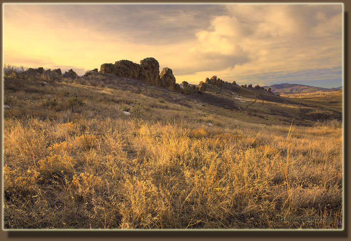
Andra, Christine, Seth and I hiked
this nice area on an unseasonably warm Saturday in January. We started
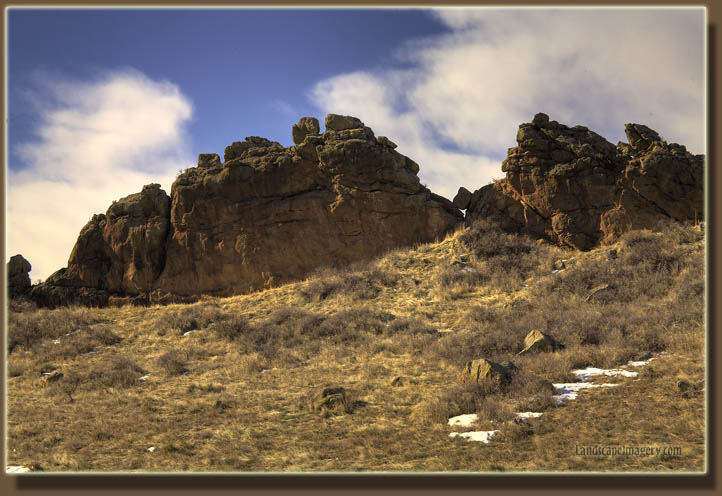
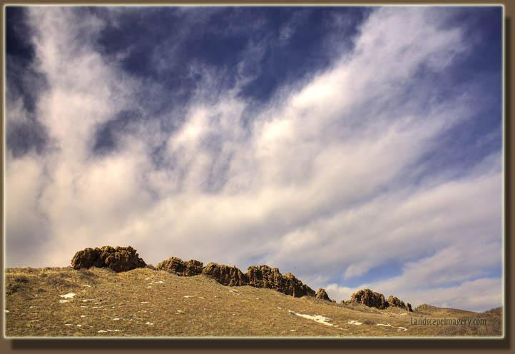
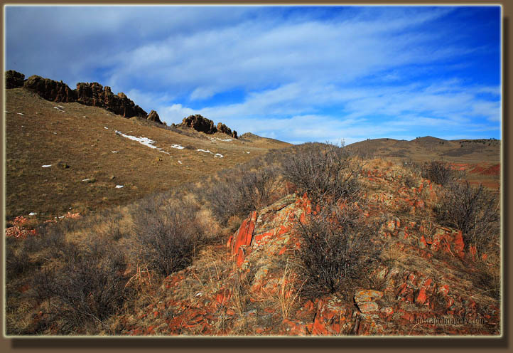
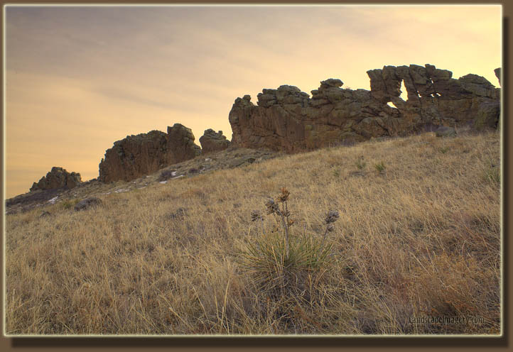
at the trailhead on Highway 34, and hiked north along the interesting spine
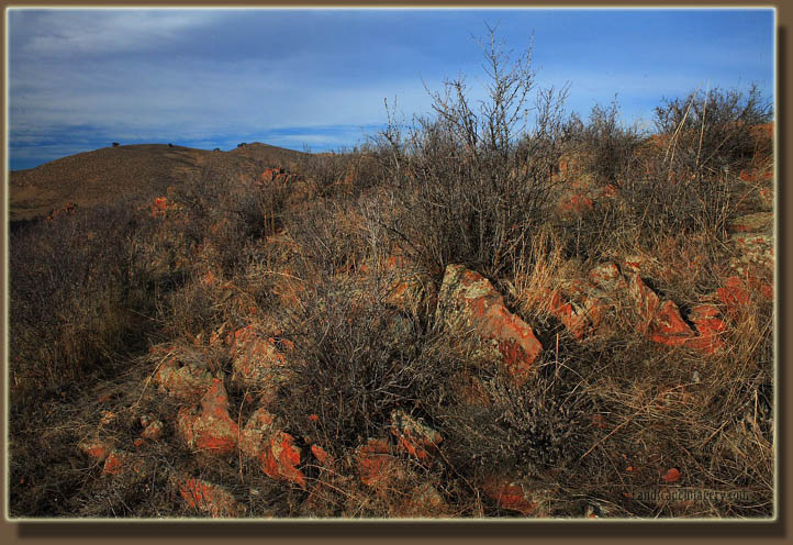
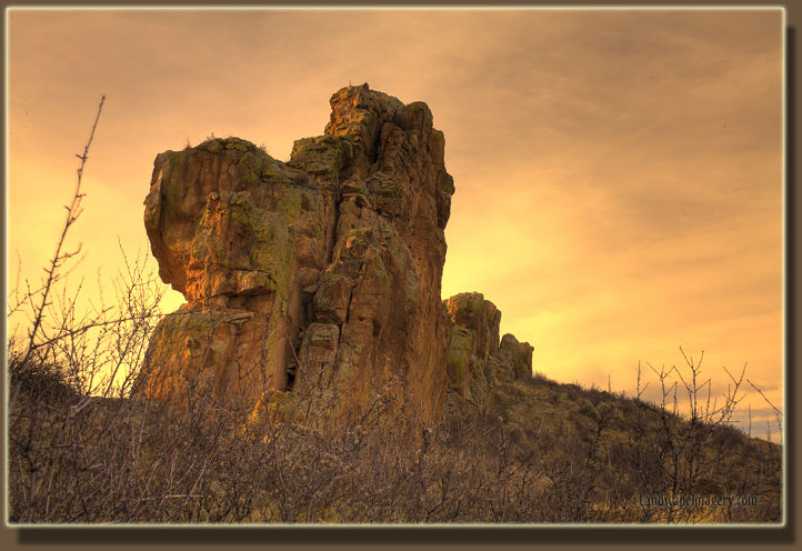
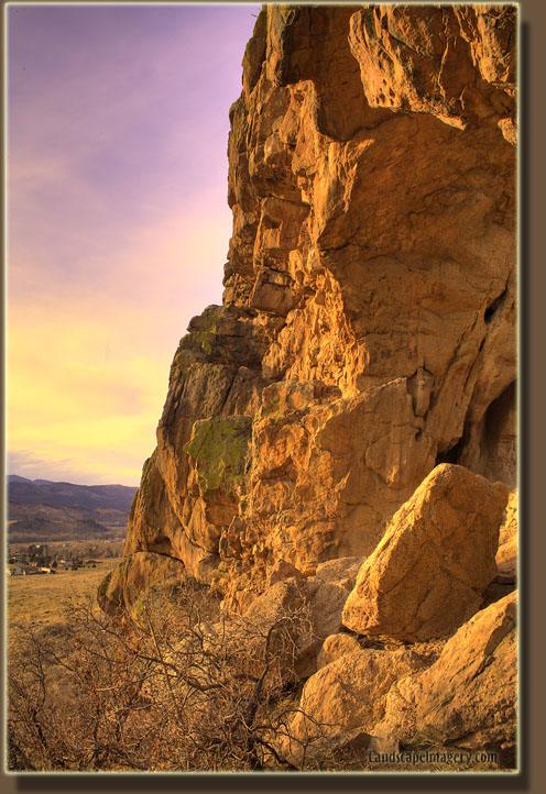
of rocks, remnants of a sedimentary hogback, that runs north-south through
the southern part of this 2000-acre open space area. We started hiking
around 2:00 on a gently rolling path, stepping off occasionally for bikers,
and generally enjoying the pleasant weather. Lots of mountain bikes hit
this trail, and I can definitely see the appeal. The trail is wide, generally
smooth and the terrain isn't really steep. The melting pockets of snow
turned the trail to gumbo in places, coating our boots in red mud, but
we soldiered on. I was thrilled to realize I was hot in my flannel
shirt, and took it off to hike in nothing but my t-shirt and jeans, in
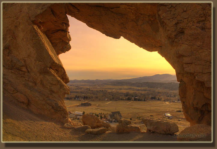
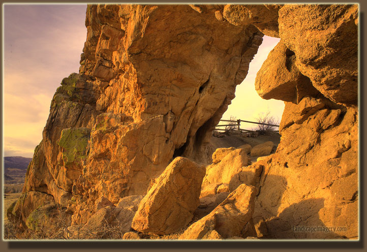
January. Man, I love Colorado. There are multiple holes in the fin of rock,
with a very large one called the Keyhole which is plenty big enough to
walk through. Though the view is not great owing to residential development
on surrounding private property, it's a great in-town park. Seth commented
how it would be fun to hike all the way to Horsetooth from here, and I
agree. It's great terrain and a nice trail.We walked about 3.5 miles, almost
to the junction with Indian Summer Trail, and turned around to head back.
The sun shone unimpeded from the west most of the afternoon, but the sky
turned a little hazy as we neared the parking lot, turning the horizon
sky a pale orange. Very nice winter hike.
Back
Next

Page created 1-29-08
Comments |