| Cummins Ridge,
Oregon
Location: Cummins
Creek Wilderness, Siuslaw National Forest, south of Yachats, Oregon
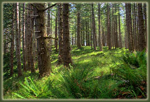
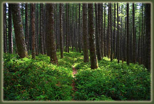
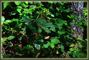
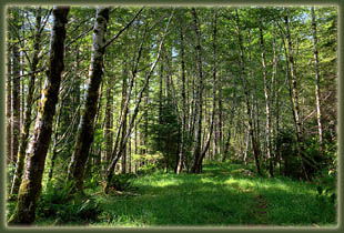
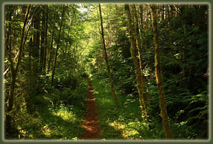
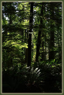
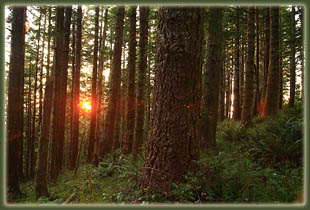
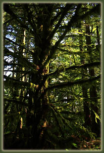
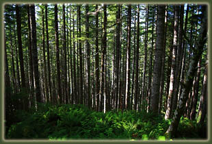
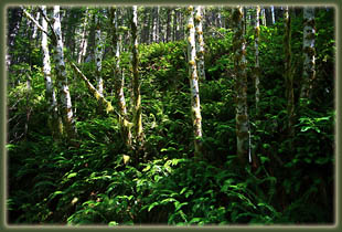
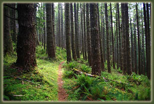
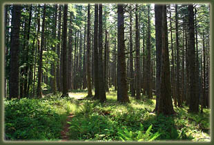
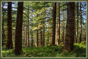
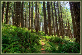
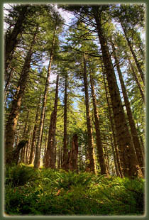
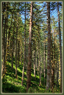
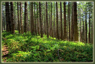
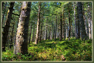
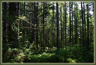
August 23, 2009 Andra and I just barely touched on this trail in 2007 when we hiked up about ½ mile from the trailhead, then branched off into the forest to camp for a night among the giant hemlocks. It made an impression, so we returned two years later to give the full trail a go. After a morning of sipping coffee and watching the waves crash at Devils Churn, we left for the trailhead around 10:45. Andra decided she didnít quite feel up to the hike, fatigue being a symptom of pregnancy that she was often keenly affected by, so we decided to split up: Iíd hike, sheíd enjoy the beach. Thus, I started up the trail at 11:30, and she headed down to Neptune Beach in the car. The trail started out following an old logging road that hasnít been used in some time. Iíd like to say itís been 50 years of disuse, but then my sense of vegetation reclamation is calibrated to the intermountain west where rainfall rarely exceeds 20 inches, and doesnít quite transfer to coastal Oregon, which gets 4-5 times that much rainfall. So, who knows, maybe itís been driven on as recently as 1984 when Congress designated the Cummins Creek Wilderness (Thank you, Congress!) The old road bed was clear enough as it graded slightly uphill along a steep south-facing slope completely shaded by giant conifers. The tops of the trees were so high up, and the lowest branches so far out of reach, it was often difficult to tell what I was hiking under. Mostly the giants were Douglas fir and western hemlock, though I was able to positively identify a few sitka spruce, which were the very largest boles in the woods, several feet in diameter. It just floors me how big these trees get. Red alders grew right along the old road, their white trunks draped in moss. The trail was graveled for the first ½ mile or so, then gave way to a simple, narrow trail through the verdant grass. Beyond the roadbed, sword ferns ruled the understory. In the cool shade, I walked quickly to keep myself comfortable, passing through the dappled sunlight on the trail, and enjoying the absolute quiet of the forest. The road grade was very steady uphill, and only for a short bit did it ever lose elevation on its way east. I passed a woman hiking downhill, but otherwise the trail was deserted. About halfway to the upper trailhead, the trail left the road and headed uphill to the southeast. The remainder of the hike was a little more rugged as it wasnít simply following a road grade, but the only real obstacle was the thick salal, which formed a forest of its own that virtually blotted out the trail under the conifer canopy some 80 feet overhead. Salal has no thorns, but the woody stems and stiff leaves scratched at my legs. I was glad there werenít too many sections of that. I most enjoyed the sections that wound through the lush fern understory, most luxuriant on the north-facing slopes. Hiking rather quickly, I reached the upper trailhead in just under 2 hours, which lies at the eastern wilderness boundary. I considered hiking the road up to Cummins Peak, but I could visualize that the summit, covered in conifers, wouldnít offer any sort of view that was different than what Iíd just hiked through, so I deferred, and instead simply turned around and headed back down the trail. I reached the lower trailhead at 3:20, about 4 hours after Andra dropped me off. She was waiting in the shade, reading her book. I took a few minutes at the car to show her the digital pictures Iíd taken along the hike and she asked me, ďDid you see anything besides trees?Ē I had to answer, basically, no. The view at the trailhead is basically the same view you get the entire way. But itís a fantastic hike, nonetheless. |
|
