June 26, 2010
On a cloudy but warm day
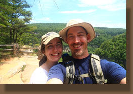
in June, Andra and I drove south into Georgia and rolled into Cloudland
Canyon State Park around 10:30. We threw on our boots and set out from
the hikers parking area towards the thrillingly-named “waterfall 1” and
“waterfall 2”. Very direct. The trail was easy to find, and we followed
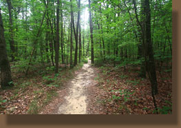
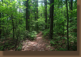
yellow blazes along the canyon rim through nice oak and pine woods to a
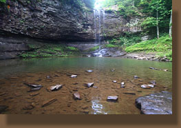
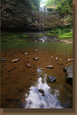
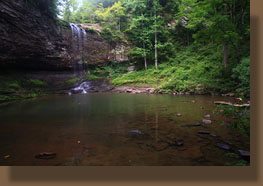
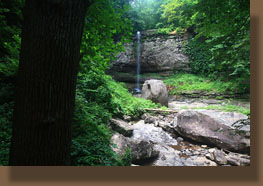
series of stairs that led down to the first waterfall, a nice narrow drop
from limestone cliffs above into a greenish pool. Very nice. We retraced
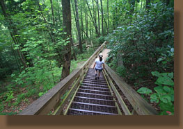
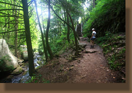
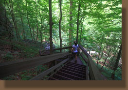
our steps back to the fork in the trail, and then descended several hundred
stairs down a steep canyon face to the second waterfall, which was perhaps
a bit nicer, but access was limited to an observation deck 100 feet away.
This trail continued on to Sittons Gulch, but we opted to return up the
hill and tackle the West Rim Trail. The climb out of the canyon on those
stairs was not exactly exhausting, but we were streaming sweat from the
heat and humidity by the time we reached our starting point. I’m still
getting used to this humidity thing.
From there we headed west
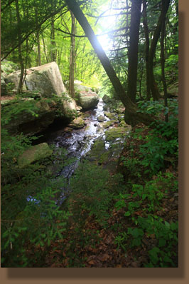
across Daniel Creek and then north towards the West Rim loop. Yellow blazes
mark the trail, and in some places, the frequency of blazes is absurd,
with every 3rd tree seemingly painted with a bright yellow splotch. The
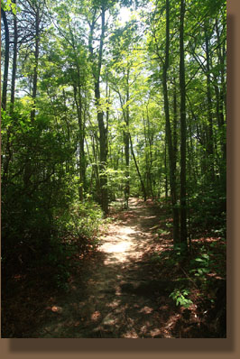
route was fairly level on the plateau, leading through a drier forest of
pines and oak. The breeze was nice, and the air was drier than in the canyon,
such that we dried out a bit from our exertions. This section of the trail
was less busy than the waterfall area, but I was still surprised by how
many groups of hikers we encountered. The trail crossed the cottage access
road, and then reached the cliffs overlooking the urban areas to the north,
where the sound of traffic below wafted up to us. Shortly after, we stopped
and had snacks on a few large rocks near the trail. Heading back along
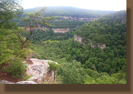
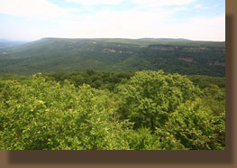
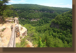
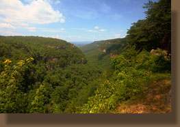
the canyon rim, we had frequent nice overlook platforms from which to enjoy
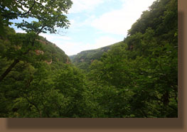
the view, and it is a pretty impressive view of the canyon walls and hardwood
forests below. Looking across the canyon we could see the parking lot,
and our end goal.
The sun came out, brightening
colors, but it stayed reasonably cool as we plodded along. As we neared
the Daniels Creek crossing, activity picked up a bit, and lots of people
were hiking along the stairs leading down to the waterfalls below. We reached
the car around 1:30, and set off for lunch in Chattanooga.
|
 |
