Location: Great
Smoky Mountains National Park, near Townsend, TN
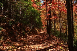
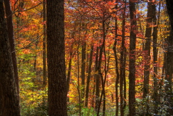
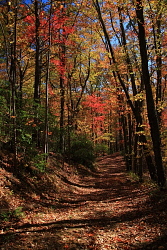
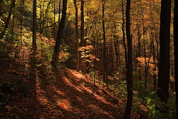
October 31, 2010 Itís a busy, busy day in the Smokies. A blue sky hangs suspended like a tinted glass over red, yellow and orange whisps of hardwood branches that snake over the road and under the car that is carting us west from Townsend towards Cadeís Cove, site of last nightís hike at Abrams Falls, and a mind-boggling traffic jam on the way out. Determined not to get stuck again in such a quagmire, we determine to stay away from Cadeís Cove on this popular fall weekend, where the warm weather and fabulous leaf color have drawn folks out of their homes from seemingly all up and down the Atlantic Coast, and instead park the car well short at the Lead Cove TH. I want the car pointed downhill so that when we finish the hike, and when traffic will presumably be greater, we only have to pull out and merge rather than flipping a U-turn. The difficulty is that traffic is already greater, and I have to wait for several minutes to get enough space to flip the car around. Itís a crowded place, beautiful and splendid. I well understand the draw, and afterall, I am one of those yahoos on the road, taking up space. Thereís so many of us, and so little space left like the Smokies. As our population continues to grow, and the government continues to auction off parcels of forest to logging companies and mining conglomerates, our density within national parks and recreational forest reserves (multi-use) will approach, nationwide, the hideously-confining density one finds in the corporate nightmares of Disneyland, Knotts Berry Farm, Six Flags or the local Super WalMart, spaces which all have in common maximum profit per square foot. Look at pictures of natural areas in Japan, and you see that they are already there. Iím sure the respective land management agencies in this country will institute a quota system for all public areas long before that, and in lots of places, they already have. Well, at present, in the Smokies, weíre not there yet. Best not to worry, and anyway, I might die next week and never have to see it come to that. Car parked, bags packed and weíre ready to go. We note that the last 3 hiking pairs have all taken the Finley Cane Trail to start with, and since weíre doing the loop, we decide to take the Lead Cove Trail to start, road less traveled and all that jazz. Into the wilderness. Itís a cool day, and though many leaves have fallen, many more yet remain up in the treetops, shading us from the angling, orange sun. The light in the forest is dark yellow, like prints made from film left in the camera too long. It is a quintessentially autumn day. The route we follow is obvious, and heads uphill at a respectable grade along a simmering stream lined with glossy-leaved rhododendrons. The trail is wrapped with roots from the numerous tuliptrees, red oaks, white oaks and chestnut oaks that line the trail and surround us on the slopes beyond. Acorns from chestnut oaks are sprouting by the thousands right on the trail, driving into the ground a thin, pale yellow radical from each cracked nut. Itís easy to see how a field can grow over into forest in a short time if left alone to its own evolution. We continue on up the trail, and I begin to suspect weíve chosen the steep route to the top. We pass by what is by far the largest northern red oak weíve seen so far, and I stop to admire it. It sits just to the left, and downhill, side of the trail (if youíre hiking in from Lead Cove). Why this one red oak survived whatever logging occurred here is anybody's guess, but it's thrice the size of the other oaks nearby. A few steps on and we encounter a couple walking quietly downhill the other way, obviously content to pass without a word, but I point out the big red oak so they are sure to notice it. Andra chuckles that they probably donít care, but I think they needed to at least have the opportunity to check it out. I donít know if they did, as the trail bent around the slope of the hill and put us out of view. As the ridgeline approaches, the trees grow shorter and things seem more dry. The red sourwood trees seem more abundant. Iíve never tasted the tree to find out if the wood is really sourÖI should make a point to test that out sometime, with suitable control wood for comparison, tuliptree, perhaps. At the ridgeline, the trails meets up with the Bote Mt trail, and we turn leftt and head northeast along the wide ridge trail that was clearly once a vehicle road, or perhaps a wagon road if it's goes back to that age, and may still be on occasion used for wheeled vehicles, under certain circumstances. A National Park is not wilderness per se, and the wildness of each park is determined largely by the current superintendent. In the sun, with the wide valley of West Prong Little River opening up to the south, we stop and make use of a log for a bench to snack on granola bars and drink water from the shaded cabin we stayed in last night north of Townsend. The sun is warm on our backs, and I feel suddenly drowsy. Back on our feet, we march down the road, through a deep bed of brown and yellow leaves that hide unsteady boulders and slip on each other like ball bearings, effectively making our downhill leg more difficult than the uphill. A thin shoulder of earth on the valley side of the road holds hundreds of trees that screen the view into the valley below, but we catch glimpses of the colorful forest beyond through gaps in the branches. The road enters shade, and we are soon once again in deep forest overtopped with hickories, oaks and tuliptrees. We find the Finley Cane Trail turnoff, and take it to the left to head back towards the car. In short order, we are back in among the big trees, and this stretch of the trail is by far the most impressive. The largest tuliptrees that Iíve ever seen grow here, and their golden leaves tint the light coming into the spacious understory to a golden orange hue. I recall the same sort of light inside my old orange pup tent when I was a kid. The air is invigorating, and we both feel pretty energetic. We practice swinging on dangling grapevines, all to much less dramatic effect than television would have you believe. Turns out those vines are anchored to both the ground and the trees overhead, and are thus not ideally suited for intra-canopy travel through the forest, or even for swinging 10 feet. Thatís not to say Tarzan was swinging on grapevines, since African jungles do not have grapevines (I think), but the principle is likely the same. Meandering on down the grade,
through the shaded glens and over a few lazy streams filled with shiny,
polished stones, the forest passes by us like a quiet movie. We encounter
a few small hiking parties heading the opposite direction, but generally
the trail is quiet. Near the end, the trail parallels the road for a couple
hundred yards before ending up at the trailhead. We hop in the car, and
enjoy the ability to simply merge with traffic, which is considerably up
from the morning flow, and downhill towards Townsend, Maryville, and points
west.
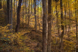
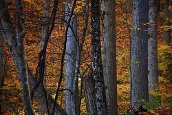
Tuliptrees along the Finely Cane Trail 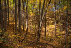
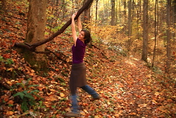
Andra checks out grapevine-swinging 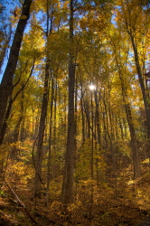 |
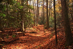
Lead Cove Trail 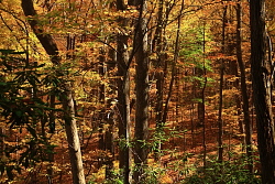
Lead Cove Trail 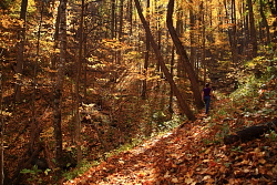
Lead Cove Trail 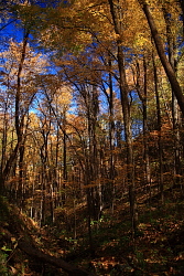
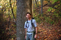
Sam by the big red oak 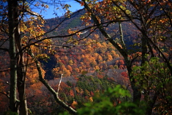
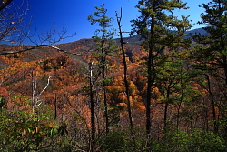
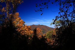
West Prong Little River valley 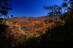
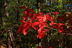
Sourwood leaves |
