Blue Lake
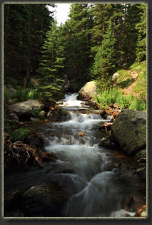
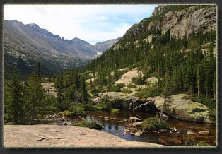
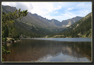
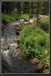
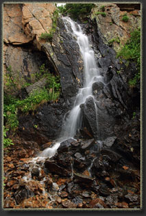
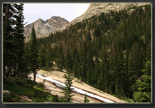
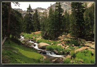
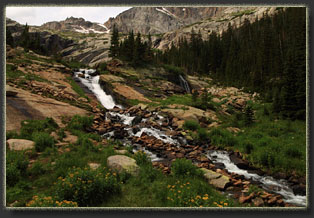
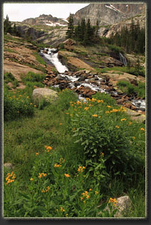
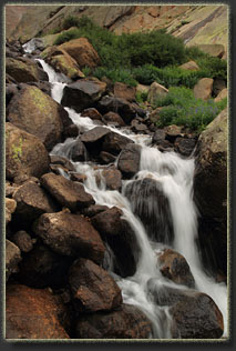
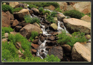
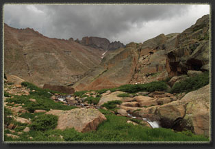
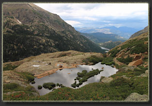
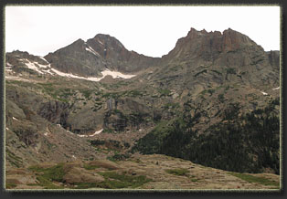
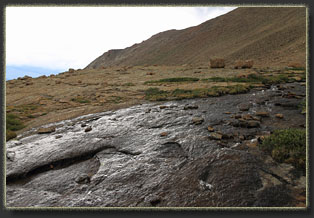
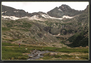
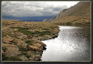
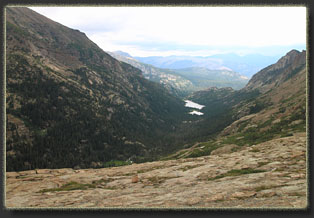
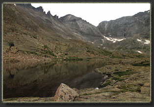
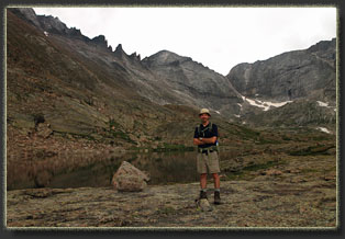
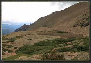
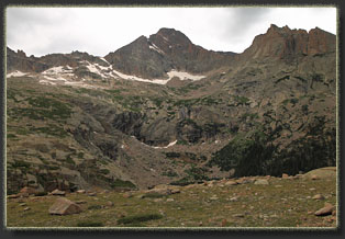
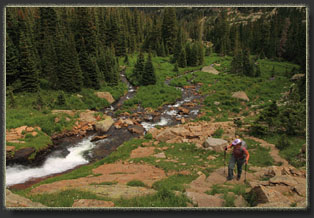
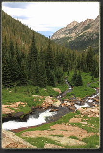
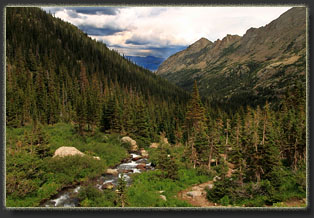
During the first hike up to Black Lake six years ago, I followed the trail from the lake up the steep ravine to the east for a short distance, lacking time to explore more than a few hundred yards. The obvious trail, not mapped, and the torrent of water jetting down the hillside suggested a lake above, or at least a very large catchment to explore. Years later, then, I finally made it back to that spot, again with Christine, though Andra wasn’t with us this time. We hiked from the Glacier Gorge Trailhead, which we reached after a comedy of errors involving barely missing parking spots at both Glacier Gorge and Bear Lake trailheads at 8:30 in the morning (earliest I’ve ever seen those fill up), then waiting in line through three bus departures at the park and ride, ultimately arriving at the trailhead almost 2 hours later than planned. The lesson there is that even on a Monday in August, you better get to the TH early if you want to park there. Not unexpectedly, the trails were packed with hikers. Everyone was there enjoying the perfect weather amidst the lodgepole pines and shimmery aspen. Christine and I motored on up the trail and once past Alberta Falls the crowd thinned out to almost nothing. We followed the trail to Mills Lake and then on up towards Black Lake. The route through here was quite changed since last time I was through. Downed trees by the thousands created an impassable tangle of limbs and pine trunks on both sides of the trail for long distances. The park service had cut a swath through this chaos for the trail. I surmise some microburst came along after heavy rains and flattened the area. It wasn’t too pretty. We reached Black Lake and stopped for lunch, it being about noon. The day had clouded up, and in the still air around the lake, the mosquitoes came out to feed. This hastened our lunch stop considerably and as soon as we had eaten a few bites we were back on the trail, heading east up the ravine on a trail that is not present on the parks maps that I’ve studied. The route headed almost directly towards Storm Peak, whose craggy ramparts we could see up ahead. The west face of Longs Peak was in clear view almost the entire time as well, and I could see the steep Trough where we had climbed up on a clear, clalm morning a few years before. We left the forest behind and entered alpine territory, composed mostly of grass and little cushion forbs with pockets of stunted spruce and fir, dense as shrubbery and virtually impenetrable. I had no GPS with me, so we were following the map closely at this point, trying to estimate where to turn off of this trail to get to Blue Lake. The creek, a product of Green Lake above, tumbled down the ravine in whitewater froth, lined on both sides with bluebells and columbines. We reached a large meadow, and the trail seemed to bend to the south. We left the trail and set off north through dense waist-high willow and marshy peat. We poked around through a maze of krumholtz searching for a path that would lead to the lake, circled around large rock faces and picked our way to the northeast until, finally, we located Blue Lake, a barren, cold and rock-shored pool of clear water. On a sunny day it would surely reflect the blue sky, but on this cloudy afternoon it looked slate gray. It took us about 3.5 hrs to reach the lake, though we spent a good chunk of that time essentially wandering around looking for it. For an alpine lake, it is deceptively difficult to locate. Rain was spitting down on us, and the sky was very dark, and only the complete lack of thunder kept us comfortable. This was not a thunderstorm rolling in, but a massive cold front bringing an all-day rain. We lingered by the lake only a few moments, and took in the down-canyon view that included Mills Lake and Glacier Gorge. Across the canyon we could see the tumbling white stream that issued forth from Solitude Lake below Thatchtop, and noted a good route to attempt another time. We followed cairns to the south and down the slope to the meadow. There is no path to speak of between the meadow and the lake. The cairns are there, but the route they outline is no easier or thrilling than any other. In the rain we cruised down the trail quickly and reached the parking lot around 3:00, shaving a full hour off our uphill descent (having water dumped on you is a good motivator not to dally along the way). |
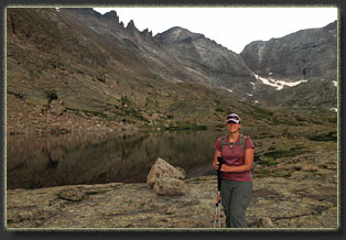
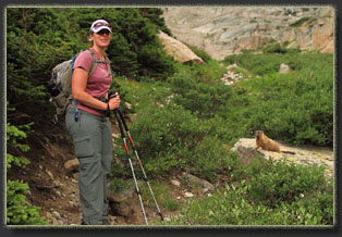
to pose for a picture with her |
