| Peaks 7875 and 7623
Location: Roosevelt
National Forest
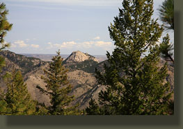
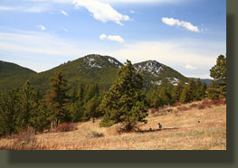
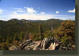
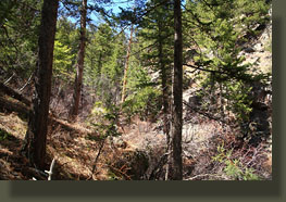
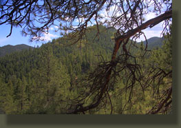
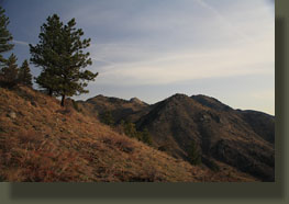
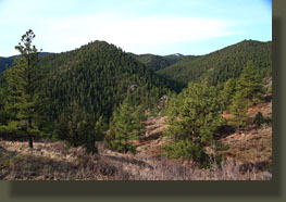
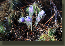
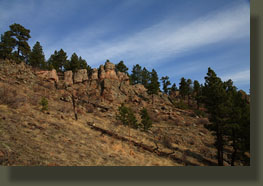
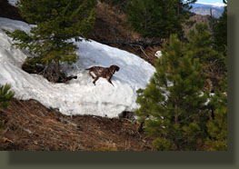
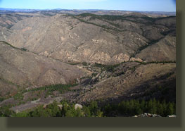
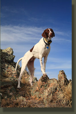
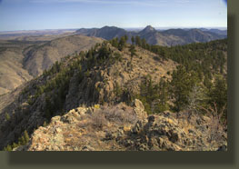
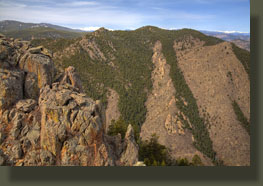
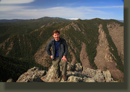
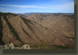
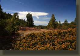
April 18, 2010 After 15 years of living and hiking within an hour of the Poudre Canyon, my time in the region is dwindling down, and Iím at the last 2 weeks. Iíve taken a job in Tennessee (Sam McGee was from Tennessee, where the cotton blows and blowsÖ) and I find myself in the Poudre Canyon again on a bright and sunny morning, cruising up the canyon through flickering shafts of sunlight for the 300th? 500th time? There is no realistic way to count, but Iíve driven this road enough to know every turn well in advance, every sign before it appears, and the location of every hiking trail and exciting off-trail route from Tedís Place to Walden. So, here I am again, one last time, to soak it in. Makenzie and Henry, my two four-legged companions, are in the car with me, panting and watching the pines sluice by in a blur. Sunlight reflections jangle off the restless waters of the Poudre River, lost sometimes in a white foam over riffles and boulders. I do a U-turn just past the Hewlett Gulch bridge, and park on the south shoulder, pointing downcanyon. I gather my things, get ready to go, and after checking for cars on the road, open the back door to let Henry and Makenzie spill out of the backseat. Then I quickly herd them into the deep woods to the south. It is 9:00. We head uphill through a thick stand of north-slope Douglas fir and massive carpets of moss. In almost no time we are looking down on the car as if from a skyrise, and within a few more moments, the car is completely lost from view behind the trees. The dogs bound back and forth with unbridled energy, while I sweat and pant my way up the steep slope, watching for the ridgeline and a lesser grade. Itís warm and very humid, with an organic forest musk in the air that reminds me of the rainforests in Oregon. We reach the open ridgeline, and a view of Poudre Park to the east, a small village thatís much larger than it appears from the highway. A dog barks far down below, but otherwise it is quiet and calm. In the open grassy meadows, Pasque flowers are unfurling their faded purple petals. I lead my fearless four-legged companeros up the ridgeline to the west (Go west, young man!) through the large Ponderosa pines that dominate the drier south-facing slopes of the forest. Henry dodges cactus, and to help him, I stray a bit onto the north slope where the cactus doesnít grow in the shade of the Douglas firs, those false hemlocks of the west: Pseudotsuga they call them. We plod along in the sunlight that fades as amorphous clouds ride in on a chilled northwest wind. Previous days rain puddles in the rocks are a welcome find for the canines, and they drink several potholes dry. From the spot where they drink, Peak 7623 is visible, but Iím not immediately sure which one of the three on the horizon it is. The two on the left seem almost equally high, but the furthest one on the left, the only forested summit, seems highest. I consult the map, but these are so close together, itís not possible to be certain. Only one way to find out. We continue over to the base of the three summits and itís clear by the time we get there that the middle one is likely the highest. Anxious to crest the ridge and see Youngs Gulch below, we hit the saddle to the north of Peak 7623 and hike along the rocky, open ridge to the summit. The view is spectacular, and extremely gratifying after hiking Youngs Gulch so many times. I can see the trail far below, and the Peak 7980 across the gulch that Iíve been on a few times as well. Even in an area Iíve been to so many times, thereís something new to see. The wind is fierce at the ridgeline, so I retreat a bit and lose my pack so I can put on a windbreaker and grab a snack. I walk back over to the ridgeline and sit to enjoy the snack, and snap some pictures. After enjoying that virtually (maybe totally) indescribable Poudre high for quite a while, I fetch my pack and continue the short distance to the true summit. The summit is easy to get to for me, but because of a couple large steps, dangerous for the dogs, and I have to tell them to stay put while I go tag the summit. Thereís a trail register in an ibuprofen bottle, and I read through it, surprised by how many others actually have been to this seemingly remote summit. Then I skip down to join Henry and Makenzie, who are both very concerned and whining at my absence. We head south, towards Peak 7875, and though itís a pretty straight shot, the thick timber makes it hard to navigate. All the trees in this little area are unusually small and tightly-packed, making for somewhat unpleasant bushwhacking. I follow the compass, and actually resort to checking out the GPS to make sure I donít walk down a ravine that leads me astray. I finally find the right finger of land that joins the two mountains, and find an old logging road, lined with trees, that leads up to the saddle by the summit. A junked truck sits abandoned just off the road, and firepits indicate the area is used for camping, at least occasionally. The road is covered in deep snow for most of the way, so I stick to the edge where the snow is shallow. At the saddle, a large grassy field opens up, and I turn sharply right to make the last quarter mile to the summit. Itís easy going, and weíre there by 11:20, looking north into Youngs Gulch again, and south into some nice mountain cabin country. The sun is back out, and itís warm and pleasant. I sit and have my sandwich, feed the dogs their kibbles, and we begin backtracking our way down. As I had given up a good deal of elevation to get from Peak 7623 to 7875, when we reach the saddle, I donít particularly want to hike it back uphill to Peak 7623 again, so I deviate from the route-retrace plan and head northeast directly back to the car. The map doesnít make this look so bad, and it promises to shave lots of distance. So, I allow my path to be redirected, as it naturally wants to, east. Trouble is, I find myself often heading due east, not northeast, and have to correct my path. The route northeast leads down one gully, then up the next, then down another, then up another. I realize my plan to head northeast has a flaw: by abandoning the smooth ridgeline, I have to cross the dozens of little gullies and ravines perpendicularly, like speed bumps, and thatís essentially what they are: speed reducers. Our pace slows, and while I donít regret my decision, I see that it means a lot more work for me, and the dogs. We reach one point where I consider going back, it gets that steep. I practically slide down a leaf-littered north slope towards a creek with a small spattering waterfall, and once at the creek, find the only route for a hundred yards is in the creek, ducking under water birch and willow. I see from the map that this creek will take me right into Poudre Park unless I jump another ridge, so thatís what we do, hike up to the ridge, and then down the other, contouring some, but itís so steep, even contouring is difficult, and my ankles creak and groan at the disastrous angles they are walking in. Finally, we reach the open Pasque-flower covered meadow above the car that we passed through hours before. The dogs are walking more slowly, obviously fatigued. So am I. What a hike! The steep slope down to the car is no picnic, either, and I find myself on my ass twice before we reach the flat ground near the car at 2:00. Later, after examining the GPS log, I found my ďshortcutĒ route back to the car saved me a third of a mile, but actually took a bit longer. Itís a tough hike, but had all the elements of a great day out, and I consider that itís a perfect final chapter of Poudre Canyon hiking. Thereís excitement in change. Iíve hiked almost nothing in the southeast US, and Iíll soon be within a few hours of almost every southeastern state. There are great places to hike there, I know. Iím excited about it, no question. But thereís no free lunch: When I return to the Poudre Canyon (and I will, often, I hope), it will be as a visitor, and though I think it will always be one of those special centers of place, it will no longer be home. Thatís tough, man. You get to know a place, get to love it, let it entwine itself with most of the big events of your life, bury your memories in the ground, and then you have to leave it. Itís tough. |
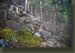
Thick woods right off the bat
|
