| Peak 7643
Location: Roosevelt
National Forest, along the Poudre River, northern Colorado
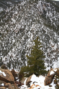
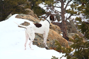
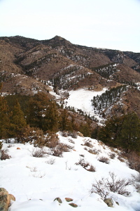
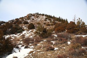
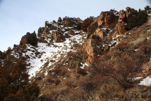
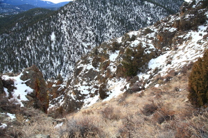
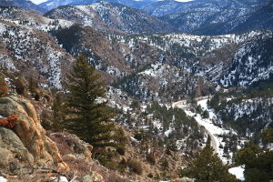
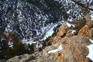
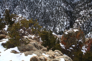
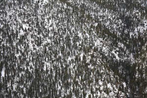
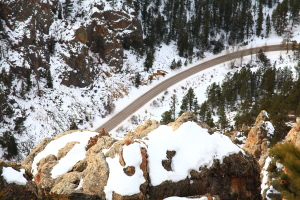
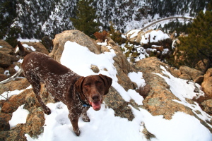
Feb 27, 2010 On a cloudy morning, the wheels of my Subaru rolled along the dark pavement Hwy 14, under a sky white-washed with undefined clouds. The lack of color was reflected in the landscape: all snow-white and pine-green with splashes of tawny brown where the snow had melted off the rocks or senescent bunchgrass. I parked at the Eggers pullout, not far past the Pingree Park Rd junction. Makenzie and Henry spilled out of the backseat, and we all three quickly crossed the highway to the north and headed into the trees. We crossed over a fence, and found an old road that led uphill along a ravine. Soon the road passed by an old mine, fenced off. We continued on, and where the time seemed right, crossed the semi-frozen stream in the ravine, and began heading uphill to the west, on the east flank of Peak 7643. It was very slow going. Deep snow slowed everyone down, and where the snow wasnít deep, the ground was extremely slick. Iíd probably not have made it up without my walking sticks to keep my balance. The dogs threaded a path through the sagebrush, and I followed, urging them to work back to the south so that we could get out of the deep snow. Once we made the south face, it was easier going. The sky remained solidly clouded, just a white haze covering everything. The air was quiet and still. We reached a minor bump of barren rock along the ridgeline to the summit, and then dropped down a bit to a saddle that preceded the main summit, continuing west. The last bit up to the top was through more deep snow, and we reached the forested summit about an hour after leaving the car. The view from the summit was obscured by trees to the west, so I walked a bit more down a slope to the west, and back up to a second point, lower than the first, that provided a more open view of the canyon almost directly below, and of the wider valley beyond called Indian Meadows. Tiny cars passed by on the ribbon of pavement far below, and dark green mountains, speckled with white, hovered above the river cut in mounds that increased in size, one upon the next. In the canyon, you donít see the big mountains that fold out endlessly from the canyon walls. I found a nice flat rock near the dropoff and sat down to enjoy a snack, pondering how lucky it is I live and work so close to such a paradise. Makenzie brought me a seed cone from a Ponderosa pine, presenting it like she does a tennis ball, for me to toss. Given the proximity of the cliff, I didnít throw it anywhere. Henry disappeared, again. I whistled, and seconds later the jingle of his rabies tag signaled his return from a wide loop through the pines and Douglas firs to the north. I avoided the deep snow on the way down by sticking to the ridgeline almost all the way to the highway, breaking off just before the fenced mine area to rejoin the little road. When I returned to the Eggers parking area, a man and woman were examining their Saab, which had just lost a chunk of its oil pan, and had bled oil all over the snow in the parking area. I gave them a ride back to Fort Collins, and picked up a Big City burrito while I was there.
|
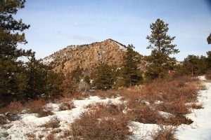
Peak 7643, as seen from beginning of the hike
|
